
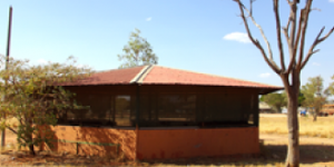
Mangkaja Arts began as an arm of Karrayili Adult Education Centre, first established in 1981 for local people who wanted to learn the English language. The initiative, led by the local men,...
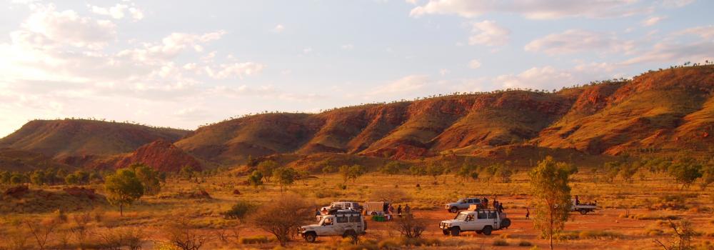
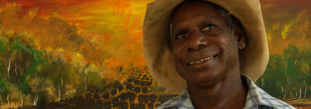
I was born in Subiaco down in Perth. I have a twin brother, and back then in the 70’s all the twins had to be born down in there from the Kimberley. I grew up here in Fitzroy...
The continued success of Mangkaja Arts Resource Agency depends on the support of donors who recognise the importance of the work we are doing. Private donations enable us to improve and develop our...
20.11.16
We have new Mangkaja T-shirts for sale!! They are showcasing works of three of our most senior artists and founding members; Mr Tommy Ngarralja May,...
09.08.13
We are pleased to annouce that Mangkaja Artist, Jukuja Dolly Snell, received Highly Commended in the Painting category for her work 'Kurtal...
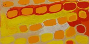
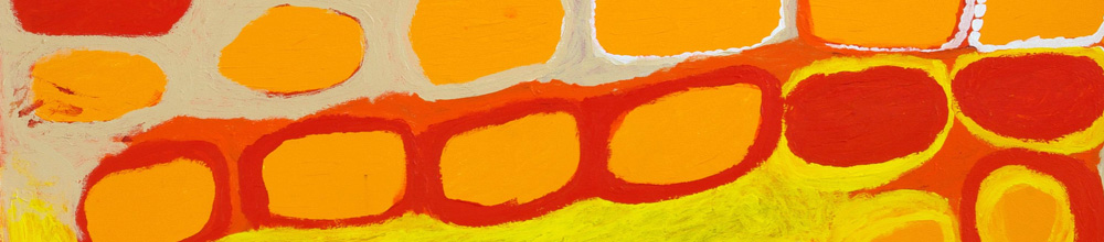
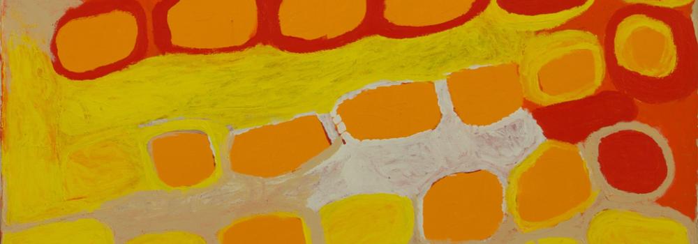
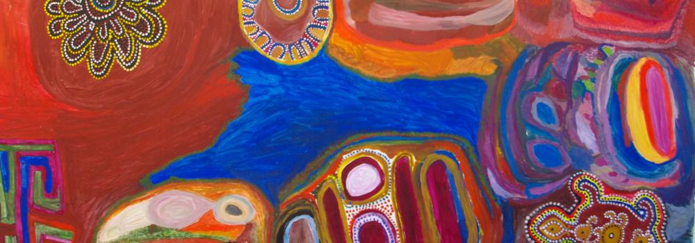
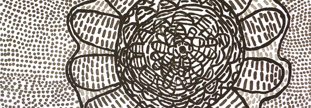
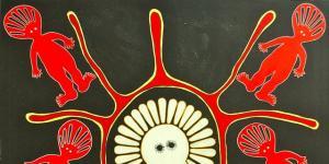
Mangkaja artists are renowned for their uninhibited style and lively use of colour, they paint images of country that share stories of culture and identity. Mangkaja Arts represents artists across...
All the art for everybody together - all the men.
Sharing stories of culture and identity, ‘...
07.04.18
Darwin